Muscowpetung 80
Indian reserve in Saskatchewan, Canada
Indian reserve in Canada, Muscowpetung
Muscowpetung 80 | |
|---|---|
Indian reserve | |
| Muscowpetung Indian Reserve No. 80 | |
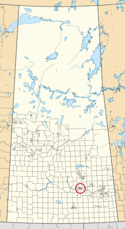 Location in Saskatchewan | |
| First Nation | Muscowpetung |
| Country | Canada |
| Province | Saskatchewan |
| Area | |
| • Total | 8,849 ha (21,866 acres) |
| Population (2016)[2] | |
| • Total | 275 |
| • Density | 3.1/km2 (8.0/sq mi) |
| Community Well-Being Index[3] | 54 |
Muscowpetung 80 is an Indian reserve of the Muscowpetung First Nation in Saskatchewan.[1][4] It is 31 kilometres (19 mi) west of Fort Qu'Appelle along the south-west shore of Pasqua Lake, which is one of four Fishing Lakes. In the 2016 Canadian Census, it recorded a population of 275 living in 87 of its 112 total private dwellings.[2] In the same year, its Community Well-Being index was calculated at 54 of 100, compared to 58.4 for the average First Nations community and 77.5 for the average non-Indigenous community.[3]
Lake Muscowpetung, which is a small lake on the Muscowpetung Indian Reserve along the Qu'Appelle River, is sometimes referred to as one of the Fishing Lakes. It is located just west of Pasqua Lake.
See also
References
- ^ a b "Reserve/Settlement/Village Detail". Crown–Indigenous Relations and Northern Affairs Canada. Government of Canada. Retrieved 12 August 2019.
- ^ a b "Census Profile, 2016 Census". Statistics Canada. 8 February 2017. Retrieved 10 August 2019.
- ^ a b "The Community Well-Being index". Indigenous Services Canada. 24 May 2019. Retrieved 9 October 2019.
- ^ "Canada Lands Survey System - CLSS Map Browser". Natural Resources Canada. Retrieved 9 October 2019.
- v
- t
- e
band governments
| Agency Chiefs Tribal Council (Spiritwood) | |
|---|---|
| Battlefords Agency Tribal Chiefs (North Battleford) | |
| Battlefords Tribal Council (North Battleford) | |
| File Hills Qu'Appelle Tribal Council (Fort Qu'Appelle) | |
| Meadow Lake Tribal Council (Meadow Lake) | |
| Prince Albert Grand Council (Prince Albert) | |
| Saskatoon Tribal Council (Saskatoon) | |
| Touchwood Agency Tribal Council (Punnichy) | |
| Yorkton Tribal Administration (Yorkton) | |
| Unaffiliated | |
| Not federally recognized |

50°46′02″N 104°13′49″W / 50.7672°N 104.2303°W / 50.7672; -104.2303 (Muscowpetung 80)
 | This article about a location in the Census Division No. 6 of Saskatchewan is a stub. You can help Wikipedia by expanding it. |
- v
- t
- e
 | This article about an Indian reserve in Saskatchewan is a stub. You can help Wikipedia by expanding it. |
- v
- t
- e


